Stage 9: The iconic Col du Tourmalet !
| Stats for Stage 9. | |||||
| Stage start/finish |
# of Mtn. passes
|
Mileage
|
Elevation gain
|
Ride time
|
|
| St. Larry Soulan - St. Sauvin | 3 |
92 mi. |
12612 ft. |
7 hrs | |
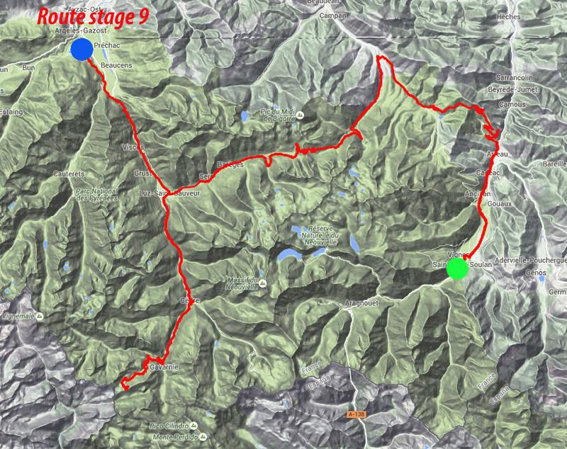
The "topo-map" view of stage 9.
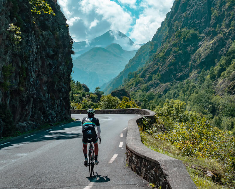
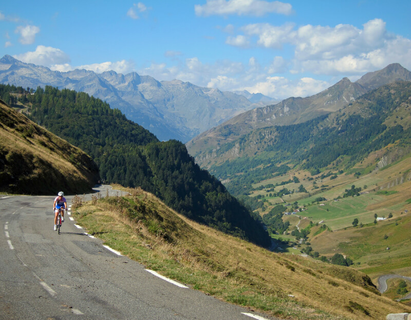
This stage has 3 historic and renowned climbs, each distinctly diffent. We will reach the highest elevation of the tour at 7243 feet. We start with the Col d'Aspin and a view that is argueably the most fantastic of the trip, though I hestitate to say so since all the views are spectacular. The second climb is the Tourmalet, which in all likelyhood everyone has been thinking about since the beginning of the tour. It will not disappoint! And the third climb you've probably never heard about, but get ready to be thrashed. It is actually slightly higher (7243 ft) than the Tourmalet (6939 ft). Today is all up or down, there is literally nothing flat. The descents are second to none. It is another huge day.
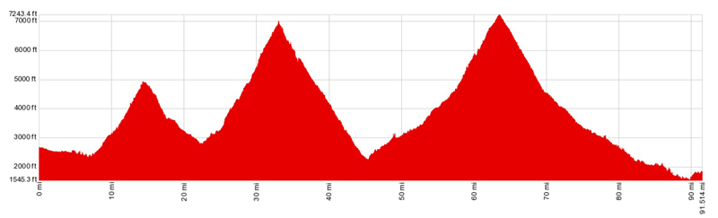
And the corresponding profile of stage 1.
Approaching the town of Gavarnie and the final climb of the day.
The Col du Tourmalet, west side.